
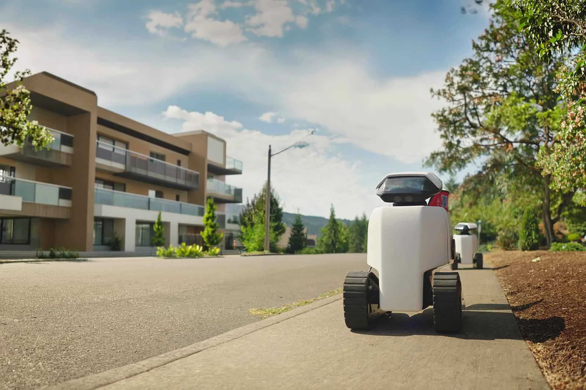
Automated Sidewalk Assessments
We employ millimeter-accurate tooling to capture actionable sidewalk & curb ramp data, delivered as a turnkey service to support your safety and compliance goals from a risk-management perspective.
Daxbot provides precision ADA sidewalk evaluations from a risk management perspective and works with engineering and accessibility firms to provide informed & actionable ADA transition plans for cities and universities.
What We Do:
We simplify ADA compliance with accurate, comprehensive data for assessments from full PROWAG evaluations to trip & fall hazard scans, covering sidewalks, curb ramps, crosswalks, and more. Partnering with trusted engineering and consulting firms, we help cities & universities build safer, more accessible communities.
ASSESSMENT TYPESAdaptable Assessments for Your Needs
Not every project needs a full compliance assessment. We provide adaptable assessments that match what you're trying to solve.
Full PROWAG Assessment
Complete evaluation against PROWAG standards.
Best for: ADA Self-Evaluation and Transition Plans.
Double Pass Hazard Scan
Includes a double scan across full pathway width.
Best for: reducing risk and liability without standing up a full compliance program.
Single Pass Hazard Scan
Includes a sidewalk scan for hazards in the path of travel.
Best for: a fast baseline of what's creating the most trip & fall hazards
Scalable Data Collection
Easily visualize sidewalk issues through intuitive, color-coded GIS maps.
Quickly explore detailed segment reports with issue locations, photos, and actionable repair insights—all directly accessible in ESRI ArcGIS.
Cover miles of sidewalks and ramps in weeks—not months—with high-speed robots
Proven data accuracy, verified through aggressive data audits
GIS-ready data seamlessly integrated into ESRI ArcGIS for immediate insights
Advanced Technology for Precise Results
We partner with trusted engineering and consulting firms to provide comprehensive ADA transition planning. From initial assessment through prioritization and remediation, Daxbot ensures your community achieves real, practical accessibility.
Precision Lasers
Identify sidewalk cracks, uplifts, and surface defects that manual assessments miss.
Highly Accurate GPS Technology
Ensures reliable location data for every measured segment.
Specialized Inclinometer
Measures running and cross slopes with 0.03° RMS precision for accurate assessments.
Informed Repair Prioritization
For each sidewalk segment, Daxbot calculates a Dax Compliance Score (DCS)—a numerical rating (0–100) measuring alignment with PROWAG standards—and delivers GIS-ready data directly into ESRI ArcGIS for easy use. We:
Locate and record the accessible route
Create prioritization maps based on how often a path is traveled and how many hazards are present
Identify/inventory assets along pedestrian paths
We Assess
Request More Info
What Our Partners & Clients Are Saying: